- PUBLICACIONES, REVISTAS Y CONGRESOS
- “Cubicación de tierras mediante el método de los perfiles. Influencia de algunos factores como la morfología del terreno y la distancia entre perfiles.” Junio, 2004. XVI CONGRESO INTERNACIONAL INGENIERIA GRÁFICA DE ZARAGOZA, INGEGRAF.http://www.egrafica.unizar.es/ingegraf/pdf/Comunicacion17038.pdf
- Geometric correction of the Quickbird high resolución pancromatic images. XXII INTERNATIONAL CARTOGRAPHIC CONFERENCE (ICC2005), pag.210-220, año 2005.
https://icaci.org/files/documents/ICC_proceedings/ICC2005/htm/pdf/poster/TEMA7/MANUEL%20AGUILAR.pdf
- Análisis experimental de los modelos digitales de elevaciones con estructura de matriz regular (Congreso internacional XVII INGEGRAF 2005). https://docplayer.es/62102585-Analisis-experimental-de-los-modelos-digitales-de-elevaciones-con-estructura-de-matriz-regular.html
- Geometric Accuracy Assessment of QuickBird Basic Imagery Using Different Operational Approaches. Revista. ASPRS-Photogrammetric Engineering & Remote Sensing. Vol. 73, No. 12, December 2007, pp. 1321–1332.
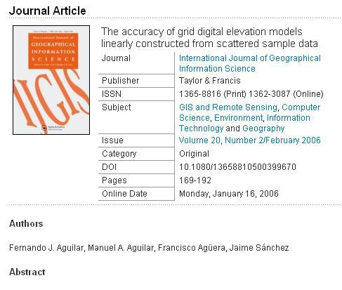
- The accuracy of grid digital elevation models linearly construted from scattered sample data, 2006.
https://www.tandfonline.com/doi/abs/10.1080/13658810500399670
- Cubicación de tierras mediante perfiles. Influencia de algunos factores como la morfología del terreno y la distancia entre perfiles.

